The National Park of Peneda-Geres

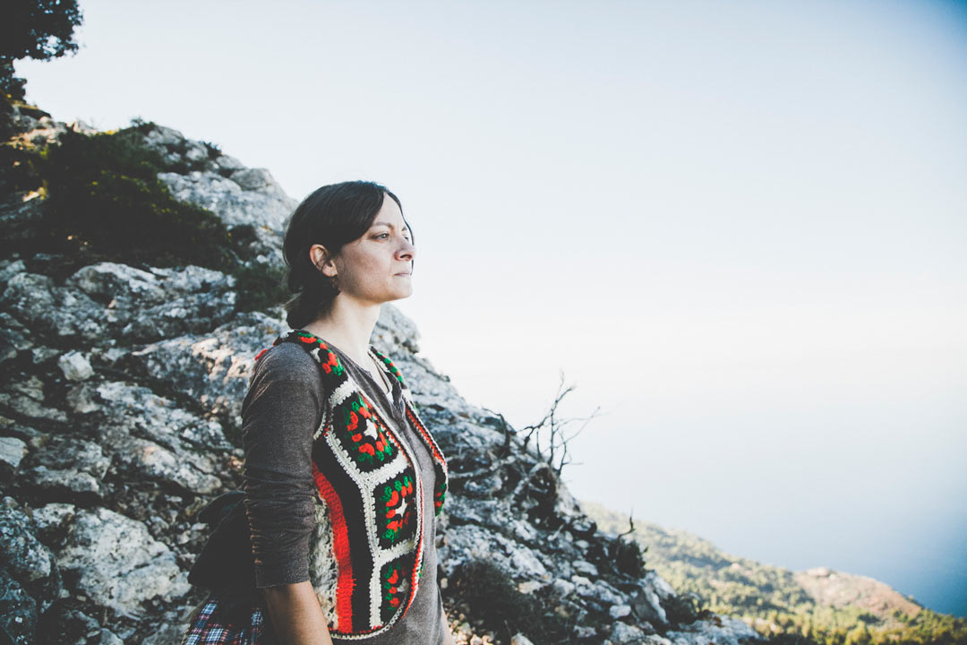
The National Park of Peneda-Geres is located in the north of Portugal, in the northeast of Minho, extending to Tras-os-Montes. This is a protected area since 1997, considered by UNESCO as a World Biosphere Reserve. It stands out for its scenic beauty, the variety of fauna and flora and for its value of ethnographic traditions.
We left on a Friday following the train rails to Braga and then we boarded a bus to the small village of Campo do Geres. It was about 7 pm when we reached our destination and the sun began to make its way to the moon. We set up the tent, prepared a small meal and went to bed, because in the next day the adventures were waiting for us!
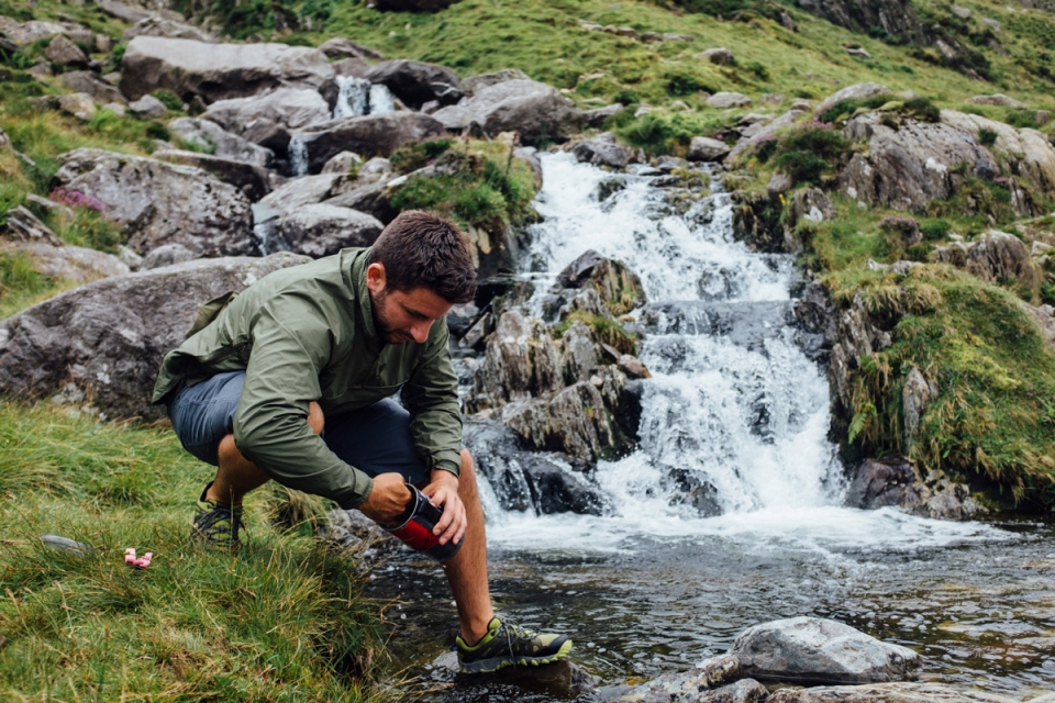
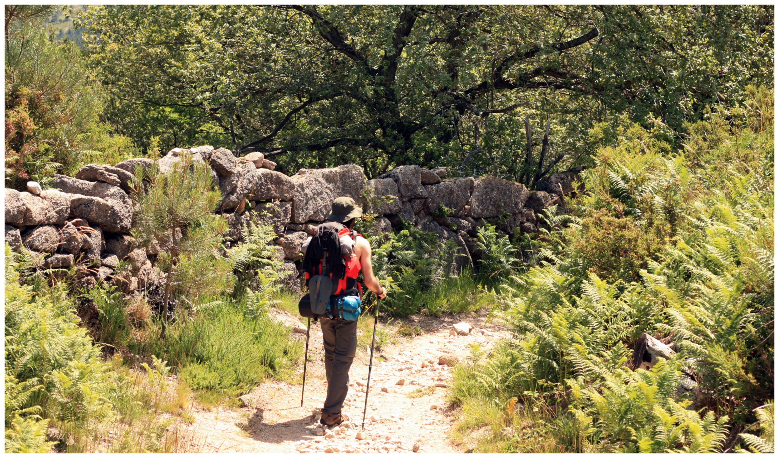
We woke up and early in the morning several birds twittering around us. We prepared the backpacks and started to wandered around a trail that would sum up to about 15 km long. We did a couple of breaks along the way to observe the surroundings, draw and walk . The most important thing was to be there and enjoy the scenery. The dam of the river “Rio Homem” was quite full due to the constant rains that occurred during the Spring this year, so the margins were higher than we would expect. However, we went ahead and through pine woods and gorse fields, we managed to go there and take a peek at the river. Then, we quickly decided to go to the northern shore, at the foothills of the mountain “Serra Amarela”, trying to see the ruins of “Vilarinho-das-Furnas”, a village that in 1972 was submerged by the dam. From times to times, when the water levels lower down, the village emerges, presenting us with a mystical glimpse to the past.

Everything was very green and flourished. We could see many ferns, oak trees, hollies and ivies… Eurasian skylark (Alauda arvensis), tree pipit (Anthus trivialis), dunnock (modularis Prunella) and The European robin (Erithacus rubecula) are some of the birds that accompanied us along the way.

Serra de Tramuntana, Es Teix, Majorca Spain

Last spring I moved with my partner from Madrid to the beautiful island of Mallorca. We settled unexpectedly in the small village of Deiá, the first place my majorcan love showed me when we  we visited the island together, a long time ago. I immediately felt in love with its pink old stones, the idyllic mediterranean landscape of olives, lemons and oranges trees and its vibrant bohemian ambient. Above all I truly felt impacted by the imposing presence of the rocky mountain standing behind the village, silently facing the mediterranean sea.

Deiá is part of the natural environment of the Sierra of Tramontana, called after the mediterranean cold wind from the North. In fact this rocky rough mountain range runs as a thick backbone from south to north among the island and represents an surprising variation from the flat landscape pattern of the rest of the Mallorca.

The panoramic view of the sea is partially hidden from the village, but you can smell its humidity when the first air of the morning comes in the bedroom windows. You can’t visually spot the sea, unless you walk up the hill reaching the old centre or, as we soon discovered exploring the nature around the village, you climb up to the mountains on its back. From this privileged point of view you can spot all the profile of the northern part of the island, the sea and beyond.

It’s the first time in my life I live literally ten minutes walking from real woods and usually during weekends we just prepare something simple to eat, we take our cameras and we just climb the path from the village to the top of the mountain. This route is part of the so called GR 221 which goes all through the Sierra, connecting every village to another. Most of the trail is based on the network of ancient footpaths restored to make them accessible for hikers of all ages.

The first time we walked from Deiá to Valldemossa, another hidden pearl embedded in these stones, it took about 4 hours to complete the section. Its an easy path, without no particularly climb points. Half the way the road reaches the so called “roof” “Es Teix”, the peaks of the mountain transform itself into an amazing walk between stones and clouds.

This time, tough, we decide to walk just half the way until the the top to have a picnic facing the sea in just a couple of hours without reaching Valldemossa. This way we have the time to come back home before lights goes away, around 5pm. We start directly walking from our home in Es Clot, to the main road which splits the village, the MA-10, and turn at the km 62,9 to take GR 22, direction Valldemossa. It’s 11.30 AM and we can’t wait to arrive for lunchtime.

The first part of the route we climb the street and we still have on our backs the bell tower of Deiá’s old church, as we finally start to glimpse the blue of the sea behind the olive trees. We pass the complex of an elegant hotel, now closed because end of season. After passing a small built-up of farm houses, finally we find the first sign of the route to Valldemossa and we enter in the luxurious mediterranean scrub walking about one hour. After passing through a small portion of land filled with solitary centenarian abandoned olive trees, we enter the woods, made of oaks and pine trees. The air is fresh, all the branches and trunks are  covered with a thin soft cover of green moss. Light gently find its way through the dense crown of trees and we finally spot some shyly mushrooms growing around.

Segade waterfalls, Galicia _ Spain

The arrival of a new season is always a gift for those who find real beauty in the intimate details of a fleeting, ever-changing moment. Through nature’s ability to sow our path with tiny treasures in the shape of wild seeds, that beauty transcends as a powerful reality from which a connection with authenticity emerges and a voyage towards intensity is born where nature is the only possible canvas.

Spring is a start over, an ok…this has been good, let’s do it again! And every year at CE we accept the invitation and join in on this cyclic game. We prepare for it during winter by building birdhouses, in our workshop, for passerines so that during breeding season, in the spring and summer months, they can use huts, hollows and holes to lay their eggs.

For me, as a maker in CE, it is the perfect excuse to go outside and connect as an active participant in this time of efflorescence.  Packing your backpack and setting off in search of a place to hang the birdhouse you’ve selected, with hopes that a pair of birds will call it home this season, transforms the day into a sort of pilgrimage to a place, a personal sanctuary, where you can return and check the level of success, measured solely in units of attitude and intention. Food for the soul.

This time around I wanted to chose a different place, somewhere other than the previous forests or landscaped grounds where I alone or accompanied by my family had hung other birdhouses. On this occasion, I felt like testing out a river zone and going in search of the Grey Wagtail, probably the most fluvial and slender of the wagtails. This species always seeks out areas where water is present, and in this case, fancies stretches of currents and rapids.

The stretch of the Umia River that passes through the town of Caldas de Reis in the Pontevedra region in Spain was the spot I chose. I was familiar with the area and knew that during the hike up to the waterfalls the surroundings offered a very interesting landscape of old mills, boulders and trees where I could explore and find the perfect place for my birdhouse this spring.

Although the sun was shining when dawn broke, I packed a jacket to keep me warm from the lingering chill on a late winter’s morning and basic items I never leave home without such as my pocket knife, serrated knife and slingshot along with some water, food and coffee.   I chose the Forest birdhouse, the first model I started making in series somewhere around 2011, and for which I have a particular fondness.

Heading upstream, I followed the river’s course in search of unmarked trails, jumping from rock to rock. I zigzagged amidst the trunks some of which had kept up their vertical fight against the current. Others had lost the battle, surrendering in a horizontal homage to the Umia and, at times, forming unrehearsed bridges and dams.

Welsh Munro Tour _ Snowdonia

It wasn’t until the beginning of the 19th Century that the Welsh began to gentrify their largely impassable pack horse trail network through Snowdonia, to improve access for all. This was largely encouraged by rising demands from the slate and copper mining industries, and the need to link London with Ireland (via Holyhead). Fantastic roads, like the current A5 which tracks the valleys through the Ogwen Valley toBangor and Holyhead, the Llanberris Pass, and later the railway network were the result…

These improved communications not only boosted industry, but increased the numbers of outdoor enthusiasts: naturalists, hikers, and climbers (from c. 1850). Consequently, a parallel demand for accommodation arose: Llanberris, Beddgelert, Snowdon Ranger on Lake Cwellyn, Pen-y-Pass, andIdwal/Ogwen Cottages, amongst several others, established themselves as outdoor hotspots. Although route options are limited by the mountainous terrain, these roads and centres are ideal for serving cycle tourists that want to explore Snowdonia and access the 15 Welsh Munros today. Travelling by bike, especially after climbing the high peaks, also helps appreciate these impressive lines of communication even more.

As usual, we gave ourselves just over 3 days – an opportunistic long weekend – to explore by bike and climb a couple of the Munro peaks on foot, making sure not to forget the coastal areas of Snowdonia. A day’s circular ride south could take us to Harlech for some stunning riding and views back to the mountains. Plus we knew of the fantastic Llew Glas cafe & delicatessen in the town to reward that morning’s climbing efforts…

For this Snowdonia cycle tour, the five of us jumped on trains from London with our touring bikes to Bangor on the northern coast – our gateway to the National Park and the Welsh Furth Munro region. From there, we would do a circular tour for three days, travelling around by bike – equipped with our usual cycle touring gear: Forestia outdoor food, cookware andshelter (two tents and two bivvy bags). The only difference would be the additional essential kit: a comfortable backpack for carrying gear on the mountains, trail shoes for keeping us nimble and protected off the bike, and a smaller scale map 1:25000 to help navigate down to footpath detail. This cycle tour was about being in the mountains; making our journey up as we felt fit. The perfect tour in our eyes, and the beauty of cycle touring unsupported…