ICELAND _ NORDIC COUNTRIES III

We arrived early in the morning at the Skaftafell Visitor Centre eager to seize the day and to get some good light for admiring and photographing the impressive landscape. Skaftafell is part of the Vatnajökull National Park and several trails start directly from the ranger’s station.

We decided to follow a circuit trail of about 3 hours duration. At about 10 a.m. we started hiking with the first light of dawn. In the beginning the trail passed between small birches, which started disappearing as the path climbed uphill. The vegetation started making room for the more and more rocky ground until only some sparse bushes and tufts of grass were left. Despite the surprisingly warm temperatures for this season, several parts of the trail were covered in blank ice, requiring caution while proceeding.

The path led us along the edge of a mountain running across Skaftafellsjökull – a glacier tongue extending towards South from Vatnajökull. Being at a higher altitude we could witness a unique view of the glacier from above of how it calves into a glacial lake.

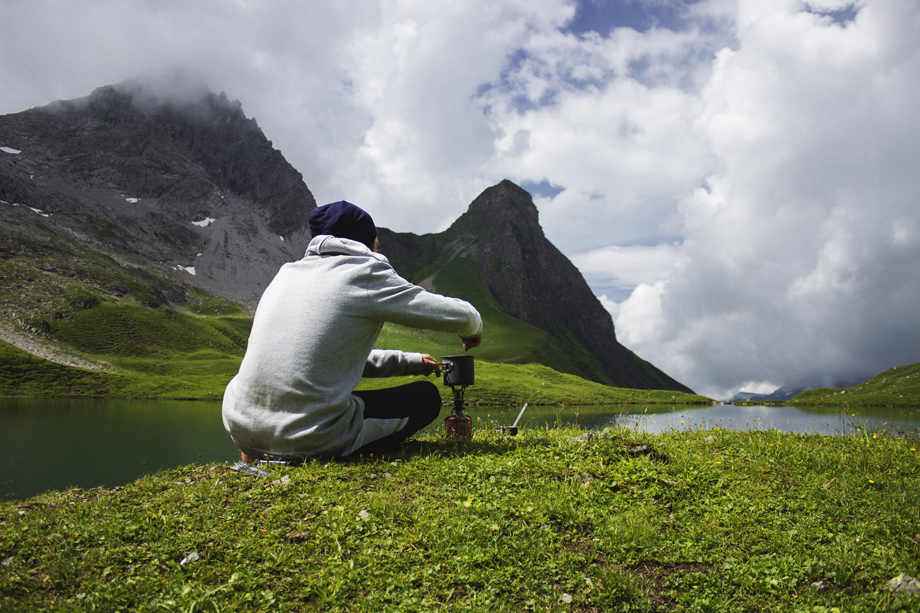
As noon was approaching we found the perfect spot to stop for lunch with an excellent view on the glacier. We consumed our Forestia meals while gazing upon the landscape, which resembled an alpine one. However, its origins were totally different, since it has been formed by the might of ice and fire (volcanic eruptions and glaciers). On days with good sight it is even possible to view to the ocean from that spot, since only wasteland washed out by the glacier floods lies in between the mountains and the shore.

ICELAND _ NORDIC COUNTRIES II

Near Reykjavik, actually only 45km drive from the capital, lies the town of Hveragerði. It is known for being located in a geothermally active area. The hot springs are used for heating the many greenhouses as well as for leisure. The trailhead starts directly at the parking lot just outside the town.

We prepared our backpacks for the walk and made sure to pack our swimming suits and towels. The path along the ‘smoking valley’, as the name traduces literally, leads the wanderer 4km along the geothermal area slowly gaining altitude.

Just after the first steps the name of the valley becomes self-explanatory. Steam clouds appear to the sight and are carried away by the wind giving the landscape a surreal feel. Directly alongside the path lie several hot springs with boiling mud. The mountains that surrounded us and the trail itself was covered in snow. Only around the springs and were the steam was blown by the wind the green grass that lied underneath appeared.

Continuing on our way the path led us further up along gorges with rocky cliffs. Again, we passed through clouds of steam. We could hear the water boiling in hot pools nearby. Signs along the way alerted the passersby about the water temperature not being suited for bathing.

THE ROMAN ROAD IN ALMIÑÉ _ BURGOS, SPAIN

For two years, we have been regular visitors to the Las Merindades region, in the province of Burgos, where we have family. Little by little, we have got to know the area and discovered its artistic and archaeological wealth. From perfectly preserved Roman churches to large mediaeval castles, with stop-offs at hermitages carved into the rock, the region is a hidden gem.

In towns like Bisjueces and Espinosa de los Monteros, you can find the origins of what would later become the Kingdom of Castile. But, before this happened, the Romans also lived in the area. Today, you can find numerous remnants of their time here.

Specifically, we chose the path that connects the town of Almiñé to the sanctuary of Santa María de la Hoz, which follows a Roman road. It is a stretch of the Camino Real, which connected the Meseta to the Cantabrian coast. Known as Almiñé Hill (Cuesta del Almiñé), the path connects Valdivieso Valley at the bottom, with the plateau of the Meseta at the top.

It was built as a carriage road, for four-wheeled vehicles, and was sufficiently wide to allow them to pass each other comfortably. At the sides, the stone sits at a slight angle, probably to assist drainage when it rained.

This trading route connected Cantabria to Burgos, and was used by such illustrious figures as Isabella I of Castile and Charles I of Spain. We started the route at Almiñé, a small town with an extremely well preserved Roman church (San Nicolás de Bari). The bell tower, with its sober adornment, is its most remarkable feature. There are studies to suggest that the first synagogue in the region may have been here.

The road starts at a slight incline, which, as we soon discovered, gets steeper (taking you up 300 m). It progresses through forests of holm oak, which sometimes seem to hug the stones.

We had our first stop at the start of our walk, where you can see remains of stone stables formally used by local villagers. We took advantage of the opportunity to try to record some sounds from the nearby forest. This is an important part of the project we are running, Unusual Journey, where we talk about different trips. We record the sounds of the places we visit.

ICELAND _ NORDIC COUNTRIES

We came to Iceland in the ambitious attempt of crossing the island on nordic skis. Traversing the highlands – an uninhabitable volcanic desert – in midst winter. A place that even during the summer months can only be accessed by special vehicles, since there leads no paved road nor bridge.

We started our journey in a glacial valley, Garðsárdalur, delimited on the East and the West by steep mountain slopes that climb up to the altitude of the highlands. Following this valley to the South, towards the source of the river that divides it, we would reach an accessible pass to the highlands. The landscape was treeless, the ground covered in stones of all sizes mostly coated in moss. Some small bushes and tufts of grass created a bumpy surface. All this covered in a thin layer of fresh snow, that had fallen in the previous days.

The conditions weren’t too favorable at the start. It was really windy, in fact our tent poles bent during the first night. Furthermore, the terrain was rough and stony, without any path to follow. The snow, that usually flattens all type of ground in winter, was almost entirely absent drastically increasing the friction of our pulks – the sleds we used to carry our equipment – on the ground. We have been told, that we encountered the warmest winter since the beginning of weather records. Little creeks that supplied the river down the valley with water lay in our way. It was time consuming to cross them since over the years, they created deep trenches by flushing away the soil. We struggled to proceeded and advanced much slower than anticipated. Also, being near the Arctic Circle, caused the disadvantage, that in this season we had only few hours of daylight to seize for walking.

As we continued things seemed to be changing for a better. After the second night, there was no wind and it snowed enough to permit us to put on our skis for the first time. As we woke up, the birds were singing. We skied along the flat shore of the river we were following upstream, allowing us to cover a greater distance with ease. That evening we celebrated New Year’s Eve with hot tea, a chocolate bar and the glimpse of a dim aurora. At that point we weren’t expecting it to be the calm before the storm.

As we started the next morning – our goal for the day was to reach the highland –  the terrain slowly started getting steeper. We had to procced along the river, that had decreased significantly in size since we were now near its source. Using snow bridges eventually we had to cross from one bank of the creek to the other several times.

Meanwhile, the wind rose and was getting stronger. It lifted the powdery snow up in the air reducing the visibility noticeably – from time to time we couldn’t see further than the tips of our skis. We were forced to put on our ski-goggles to protect our eyes from the flying particles. The constant howling made it difficult to communicate. Even when standing right next to each other we had to shout to make sure that our words wouldn’t just be carried away by the wind before arriving at the receiver. Suddenly, a gust of wind lifted one of our pulks blowing it away for several meters upon some stone nearby. Considering that we started our trip just several days earlier we still had most of our food and fuel supplies in our sleds, making our pulks 35-40 kg heavy! This was no isolated event. The pulks got tipped over and over by the wind. It impeded our movements and turning over the pulks costed us time and force every single time. We barely proceeded under this conditions.

At about 4 p.m. there was no sign the wind would have stopped anytime soon. In contrary, it was getting stronger and the sun slowly started to sink below the horizon. At this point we realized we had to search shelter for the night. It was already too late and we had walked too far to return safely to the emergency hut we passed on the way. Furthermore, our tent was no match for the wind. Without enough snow to build a snow-wall the exposed tent would not have endured for long.

Rappenalptal Valley _ Austria

Day 1

We started our hike at the beginning of the Rappenalptal, a gorgeus mountain valley located south of Oberstdorf which is itself the most southern village in Germany. Planned for two days the Mindelheimer Hütte, a mountain cabin high up at the end of the valley and quite near to the Austrian border appeard as a perfekt spot to spend the night.

But first we had the make it there until sunset and so we started our hike in the small town of Birgsau. Soon we entered the forest and made our way up a very steep and rocky path. Altough we had to pay full attention to the difficult but still wonderful trail it didn´t stop us from enjoying the absolutley beautiful surrounding wildlife. After leaving the forest we wandered on a small path surrounded by deep green grass with fields of colourful mountain flowers and high peaks hidden behind some grey clouds. The mood was simply awesome and we forgot about all the ascents difficulties.

We arrived around three hours after starting in Birgsau at Lake Guggesee, just in time for a decent lunch break. We sat ourselves down on a big rock right next to the shore and enjoyed our first delicious Forestia meal really comfortable without bringing extra cookware. While waiting for the meal to simmer a herd of cows stumbled across the corner to enjoy some delicious green and mellow grass. We just finished eating when suddenly heavy rain started to pour down so we hurried up getting our stuff together to continue our hike and not to get completely soaked by the rain. Ironically it stopped raining just at the moment we set off.

Continuously we ascended higher and higher but the trails most difficult part was already over and we enjoyed the following section with destination Mindelheimer Hütte. It turned out as a gorgeous varied path with some wonderful scenic views at the opposite side of the valley and its no less epic mountain range. Meanwhile more and more clouds appeared, the fog began to roll in and even a little rain started to fall down. But the worse the weather went the bigger the smiles in our faces were. We love this kind of weather, especially when were in the mountains.

We reached the Mindelheimer Hütte around 6 p.m. and enjoyed a fabulous dinner after taking an ice-cold shower outdoors with water straight out of the mountain. The rain just stopped after we finished eating so we went outside getting some good shots. Happy, content but really tired we went straight to bed afterwards to be fit enough for the next day’s hike.